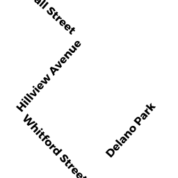
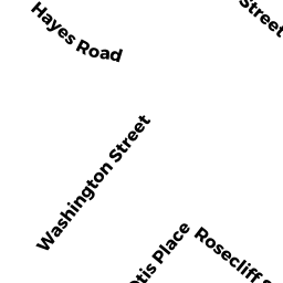
35 WHITFORD ST
Owner Information
GAROFALO JOSEPH R ETAL
35 WHITFORD
ROSLINDALE, MA 02131


Property Details
35 WHITFORD ST is classified as a Two-Family Residential (Two fam stack).
The primary structure on this property was built in 1962. There is 1,920ft2 of residential/living space within this property. This property is listed as having 10 rooms.
35 WHITFORD ST is valued at $494,300. The land is valued at $196,200 and the structures are valued at $298,100.
35 WHITFORD ST was last sold on Thursday, January 1, 1987 for $0.
Assessment data from fiscal year 2020.
Flood Data
According to the FEMA National Flood Hazard Layer, this property does not appear to be in a flood zone. It may also be in an area not yet reviewed. Nonetheless, confirm this information prior to taking any action.
To view the flood hazards around this property, create a FEMA "Firmette" Map of the area around 35 WHITFORD ST.
Broadband Internet Providers
| Provider | Type | Bandwidth (mbps) | |
|---|---|---|---|
| RCN | Cable | 1000 | 20 |
| RCN | Cable | 500 | 20 |
| VSAT Systems, LLC. | Satellite | 2 | 1 |
| Comcast | Cable | 1000 | 35 |
| HughesNet | Satellite | 25 | 3 |
| Verizon New England Inc. | DSL | 7 | 0 |
| Verizon New England Inc. | Fiber | 940 | 880 |
| Viasat Inc | Satellite | 100 | 3 |
| Crown Castle Fiber | Fiber | 0 | 0 |
| GCI Communication Corp. | Satellite | 0 | 0 |
Broadband service provider data from December 2020.
Adjacent Properties
- 31 WHITFORD ST
Two-Family Residential owned by HEAVEY MARY T - 2 CRESTVIEW RD 2
Residential Condominium owned by REYES DAVID - 4 CRESTVIEW RD 4
Residential Condominium owned by LYDON MICHAEL - 1-11 CRESTVIEW RD
Other, Open Space owned by CRESTVIEW CONDOMINIUM TRUST - 1 CRESTVIEW RD 1
Residential Condominium owned by BRAVO SARAH - 3 CRESTVIEW RD 3
Residential Condominium owned by JORDAN C BACKLER REVOCABLE TRUST - 41 WHITFORD ST
Single Family Residential owned by BEELER LUCAS H